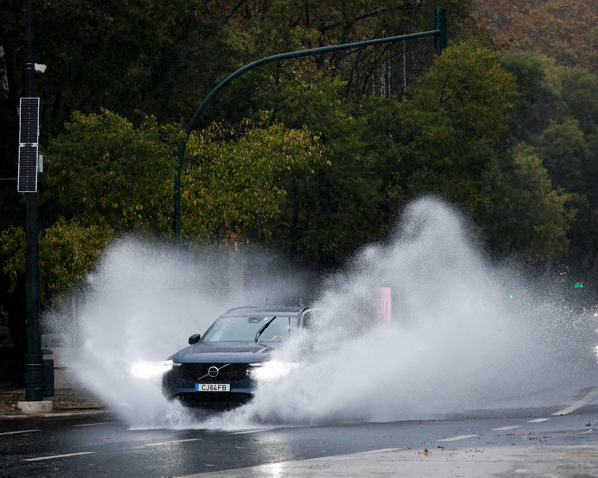
Storm Charles has brought destructive weather to the Iberian Peninsula this week, causing significant disruption across Portugal and the southern reaches of Spain. Heavy rain and strong south-westerly winds arrived first in the Portuguese island of Madeira, before the system headed towards the mainland on 11 November. Meteorological data indicates that a wind gust of 84.5mph (136 km/h) was recorded at Funchal airport, accompanied by extreme rainfall totals reaching 355mm (13.97in) within a 12-hour window. This impact forced major logistical adjustments, with 183 flights cancelled in Lisbon on Wednesday—roughly one-third of the city’s typical daily traffic—while Madrid Barajas airport reported 155 cancellations.
Regional Impact and Forecasts
As the system progressed along a north-easterly track, it traversed southern France and moved into northern Italy. The resulting deluge caused significant flooding in parts of Cannes, triggering rock falls and forcing the closure of various roads along the French Riviera. The Italian weather service has responded by issuing a red rainfall warning, its highest alert level, for a wide region stretching from Tuscany to Venezia. Forecast models suggest further severe weather for Italy and the Balkans, with an additional 100mm of rain expected widely and up to 200mm likely in mountainous sectors.
Disruption in British Columbia
Simultaneously, Canada has faced its own challenges with successive rounds of heavy rain and strong winds causing widespread infrastructure damage. Key impacts in British Columbia include
- Between Monday and Friday of last week, severe weather left more than 400,000 customers without power.
- Unsettled conditions persisted into the weekend, impacting an additional 135,000 customers and causing landslides, downed trees, and road flooding.
- Wind gusts recorded on Sunday included 72.1mph (116 km/h) on Herbert Island and 60mph (96 km/h) at Victoria international airport.
- Heavy rain warnings were issued Wednesday for Vancouver Island and southern coastal regions, with multiple stations reporting rainfall exceeding 100mm.
- The River Forecast Centre has issued flood warnings across the south coast due to high streamflow and the ongoing risk of flash flooding.
Looking ahead, a new area of low pressure is forecast to bring further torrential rain and strong winds to the region over the weekend. Projections indicate that central and southern parts of Vancouver Island will likely receive more than 100mm of rainfall on Saturday, accompanied by wind gusts exceeding 60mph.